FARMS app logo for agricultural planning and farm operations

Stop losing money before you even enter the field. Plan every operation with real data, and avoid costly mistakes before they happen

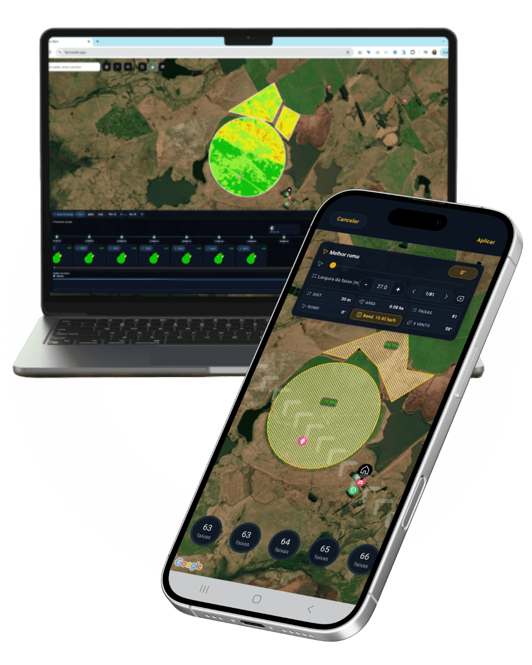
Farm planning app showing field map, NDVI analysis and operation planning on mobile and desktop
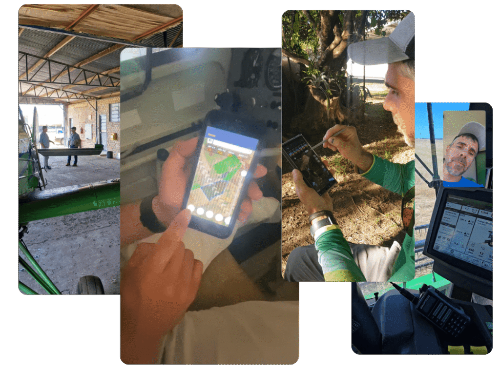
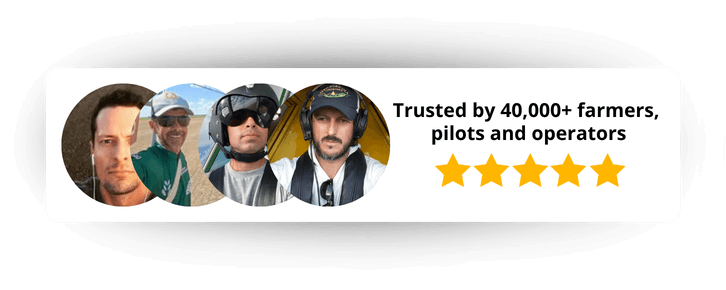
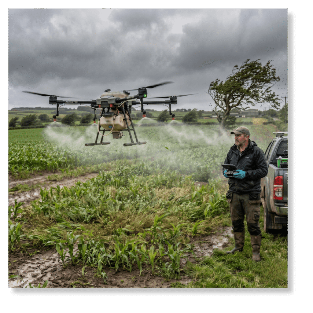
Farmers and agricultural pilots using FARMS app with 40,000+ users and 5-star rating

✔ Plan before you operate
✔ Avoid costly mistakes
✔ Use real field data

This is where most of your money is lost

Not in the crop.
Not in the equipment.
👉 In the decisions made before the operation starts.

Plan it right before it costs you.

Know if you should operate before you even enter the field

No guesswork. Just clear decisions before you start.

– Know the exact moment to start 
– See when conditions turn against you 
– Choose the safest way to operate 
– Avoid decisions based on guesswork

STEP 1 PLAN → STEP 2 EXECUTE → STEP 3 RECORD → STEP 4 MONITOR

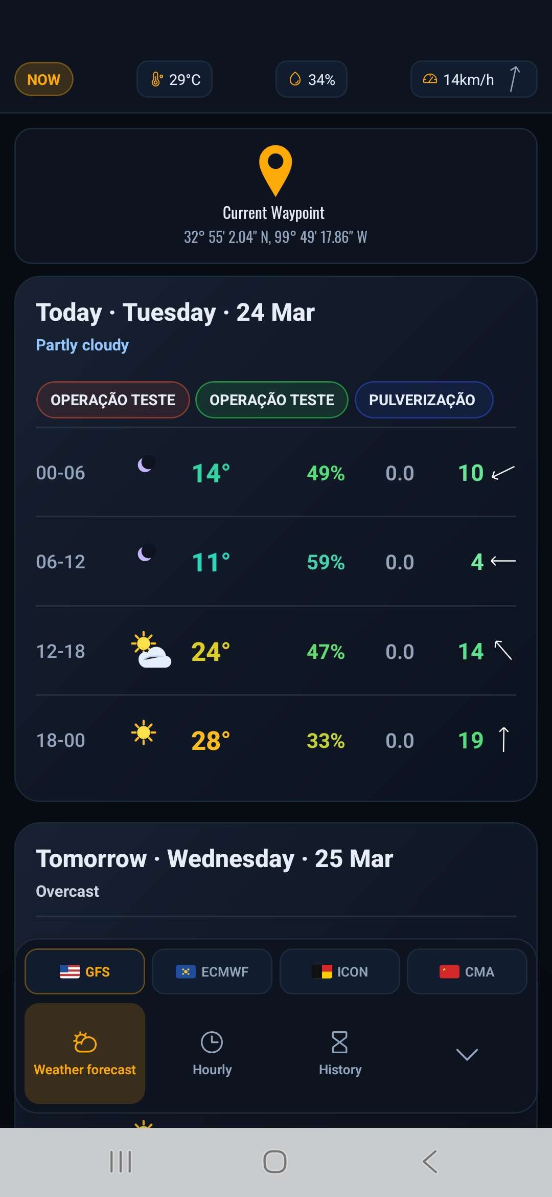
STEP 1 PLAN

Plan with real conditions
Know the exact day and time to operate
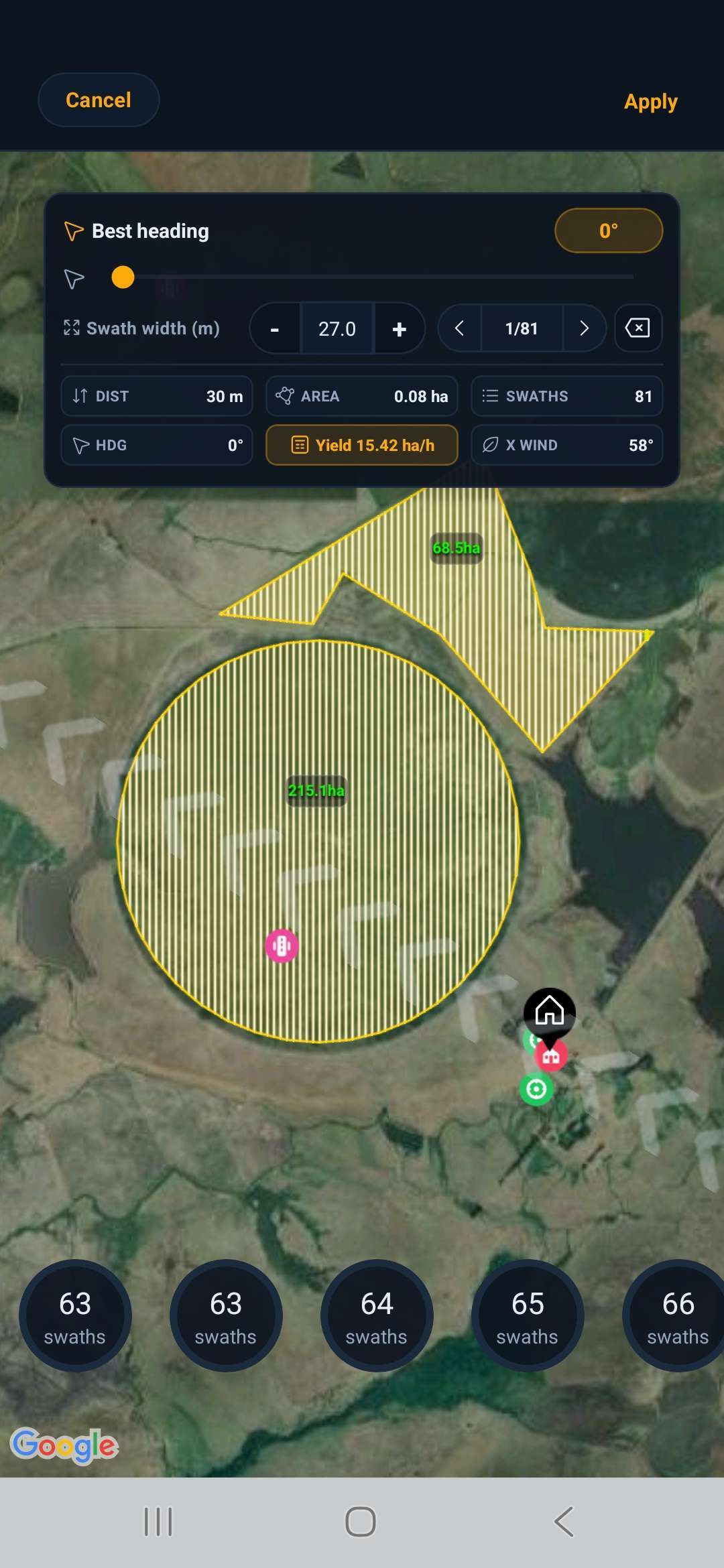
STEP 2 EXECUTE

Execute with the right direction. Align your operation with wind and field conditions
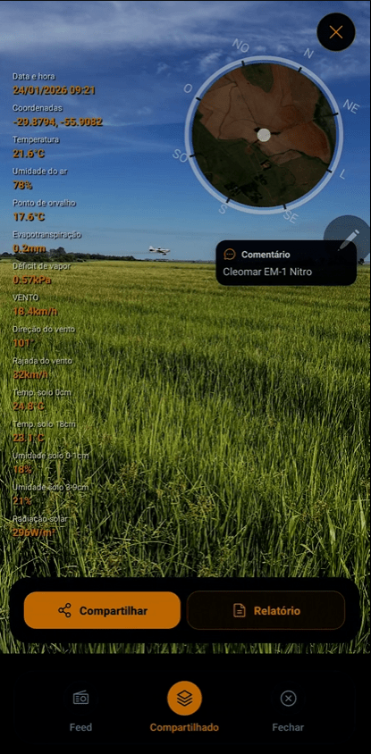
STEP 3 RECORD

Record everything that happens. Keep proof, history, and operational data
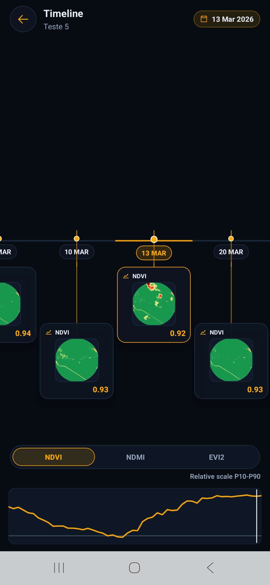
STEP 4 MONITOR

Monitor results over time Track field performance and make better decisions
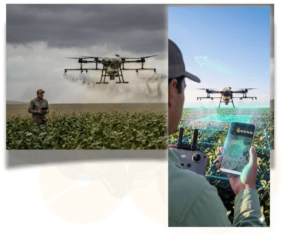
Know exactly what to do before the operation starts

No guesswork. No surprises. Just clear decisions backed by real data.

Use it anywhere

A simple way to make the right call every time

No guesswork. Just clear decisions from start to finish.
One simple flow. Better decisions. Less loss.

PLAN

Know when and where to operate
✔ Map your field and define key locations
✔ See weather and wind before you decide

EXECUTE

Follow your operation plan in the field
✔ Execute with real-time field conditions
✔ See direction, wind, and coverage while you operate

RECORD

Capture and log every operation
✔ Capture photos w/ conditions attached
✔ Log products, time, and operation details in one place

MONITOR

Track results and field performance
✔ Track field performance over time
✔ See real satellite imagery and vegetation data (NDVI)

A complete cycle that reduces losses and increases efficiency.
Everything you need to make the right call, every time!

Trusted in real field operations

Downloads
0
countries worldwide
0
years in real field operations
0

Used daily in real field operations

Real decisions. Real conditions. Real results.

Choose how you want to use FARMS

Use it in the field, in the office, or both together.

See your options and start in seconds

No. You can try FARMS free for 30 days and cancel anytime before you’re charged.

Yes. FARMS is built for real field operations — including drones, tractors, and agricultural aviation.

Yes. Use it in the field on your phone and plan on your computer — all connected.

Yes. FARMS is designed to be simple and practical, even if you’re not used to technology.

You can use FARMS in the field even without internet.

You can download your maps, plans, and data in advance and access them during your operation.

Some features — like updated weather data and automatic syncing — require internet.
When you’re back online, everything updates automatically.

Farm planning app showing field map, NDVI analysis and operation planning on mobile and desktop

Make the right decision before you even enter the field

See real conditions, plan with confidence, and avoid costly mistakes before they happen

Plan your next operation with confidence.
Start your 30-day free trial — cancel anytime
Trusted by 40,000+ farmers and operators

FARMS Copyright ©2026 . OGN TECHNOLOGY LTDA. CNPJ: 25.018.263/0001-59